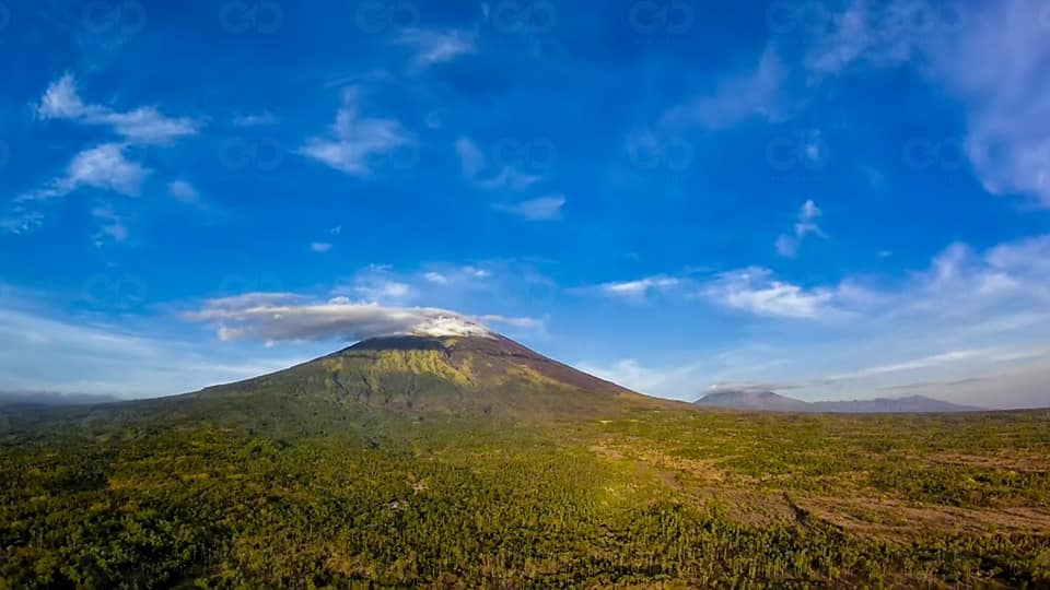
A 4.3 earthquake was recorded in Bali on Wednesday afternoon.
Striking around 1:12pm, the quake’s epicenter was northwest of Karangasem, at a depth of eight kilometers, according to the regional disaster mitigation agency, BPBD Denpasar.
This is the largest earthquake on record so far in the area since the volcano’s alert status was upgraded to a level IV on Friday.
Mt. Agung, which is located in Karangasem, has been rumbling for the past month and an eruption is feared to happen shortly. The volcano is currently on the highest alert level and an exclusion zone of nine kilometers as been set from the crater.
A 4.2 earthquake hit around the same area yesterday afternoon, which could be (though we don’t yet know for sure) connected with the magma that is pushing its way up within Mt. Agung, said Volcanology and Geological Hazard Mitigation Center (PVMBG) director, Kasbani.
Over 75,000 people have evacuated from their homes in anticipation of a possible eruption.


