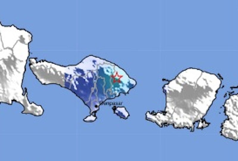

A 4.2 earthquake was recorded in Karangasem, Bali on Tuesday afternoon, near Bali’s Mount Agung volcano.
The earthquake comes during fears of an eruption from Agung, which is at the highest alert level at the moment.
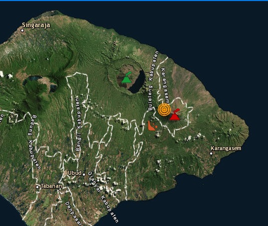
Recorded at 4:28pm, the earthquake could reportedly be felt in Karangasem, Gianyar, Denpasar, and even all the way down in Nusa Dua and Kuta for some.
The depth of the quake was five kilometers, according to data from the Bali Meteorology, Climatology and Geophysics Agency (BMKG).
Increasingly frequent volcanic activity has all eyes on Agung. Tremors are coming more and more often, a sign that molten magma is still rising towards the surface, says the national disaster mitigation agency.
As of Tuesday, over 75,000 local residents have been evacuated from the danger zone and areas just outside the designation.
Indonesian President Joko Widodo flew in to Bali this week to visit crowded aid centers.

