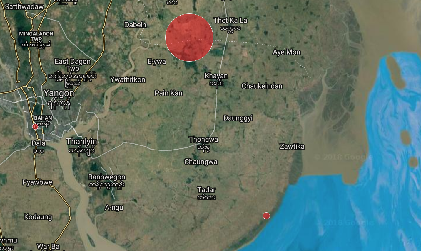

Many Yangon residents felt the ground roll beneath them for a few seconds this afternoon in what was later determined to have been a 4.2-magnitude earthquake. It was at least the fourth earthquake to be felt in southern Myanmar this week.
Today’s quake struck at around 2:20pm near the southern coast of Yangon Region, south of Zawtika, according to the website Earthquake Report. People who reported feeling the tremor described effects ranging from light to strong shaking. One respondent described computer monitors and other items fastened to a wall shaking.
On Sunday, two earthquakes with magnitudes of 3.4 and 4.1 struck near Pyapon, Ayeyawady Region, followed by another 3.4-magnitude quake on Monday.
Another 4.1 was detected a few miles off Myanmar’s southern coast on April 2.
Nineteen earthquakes were detected in Myanmar within the first two weeks of 2018. At the time, Myanmar Earthquake Committee vice chairman Myo Thant told the Myanmar Times that the “close intervals are not an indication that a big one is coming soon.”
Myanmar was hit by 60 earthquakes in 2017 and about 40 in 2016.


Reader Interactions