

Jakarta’s mass rapid transit (MRT) system finally launched commercial operations today and while it may have taken decades for the capital’s government to complete work on the mass transit system, Google has already added integrated support for the brand new public transit option to its map app.
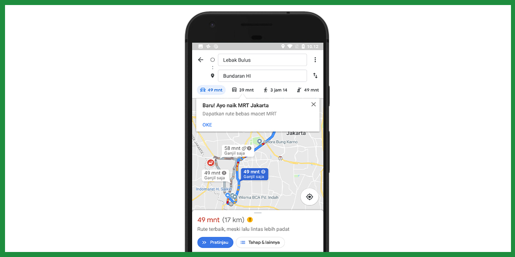
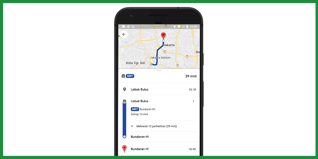
The Google Maps app now features full support for travelers looking to integrate the MRT into their commute. In the app you can find information on the mass transit system’s route, schedule and arrival times, all updated in real-time according to the MRT trains’ positions.
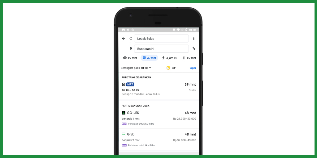
To access the new MRT information, simply select your destination and choose the “transit” option (depicted with a train icon) as your mode of transportation. Google Maps’ transit option already includes information for the Transjakarta bus system and now if it makes sense to take the MRT along your route the transit view will indicate which MRT station you should go to first, the time of the next train and an estimate of how long it will take you to reach your station of disembarkation and your final destination.
“With the availability of this information, now you can know when your train will arrive along your route as it passes. We expect the addition of information on the Ratangga (a term for MRT train carriages) in Google Maps to help and facilitate the citizens of Jakarta, including newcomers, in planning their daily journey,” Wienathan Feliciana, communications manager of Google Indonesia, said in a press release.
If you’re looking to kill time while riding the MRT, Google also revealed today that they’ve added a version of the classic computer game “Snake” to the Google Maps app in honor of April Fools (don’t let your hopes get too high, though, it’s pretty basic).

