
While everyone is busy worrying about an eruption threat from Bali’s Mount Agung, Mount Sinabung in Sumatra erupted this week and has been regularly erupting for years.
Although the volcano has certainly proved itself to be one of Indonesia’s most dangerous throughout history, Sinabung’s eruption on 2:45am, Thursday morning did not cause any casualties, according to the National Disaster Mitigation Agency (BNPB).
“People are accustomed to seeing the eruption of Mount Sinabung because since it was set to alert status on June 2, 2015 almost every day there was an eruption,” said BNPB spokesman Sutopo Purwo Nugroho in a press release.
“Almost every day Mount Sinabung in Karo regency of North Sumatra province erupts, besides throwing volcanic ash, the eruption is also accompanied by earthquakes, red-hot lava and hot clouds,” he said.
The volcanic ash column from Sinabung’s eruption on Thursday was recorded as having a height of 2,000 meters, followed by a cloud of hot fall, sliding 1,500 meters to the south and 2,000 meters to the east-southeast.
“The wind is blowing medium to east-southeast with a 366-second earthquake eruption,” Nugroho stated.
While an eruption just the day before, on Oct. 11 at 10:51pm sent a volcanic ash column up 1,5000 meters, an earthquake for 333 seconds of the eruption, and ash rain in some surrounding villages.
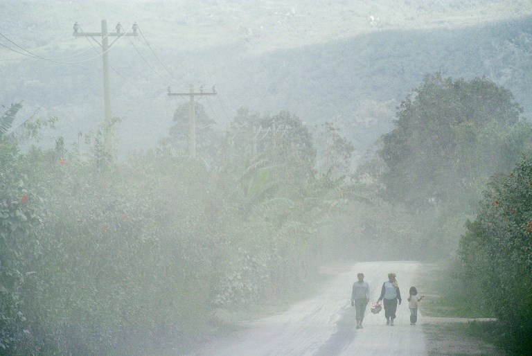
Thousands of residents had already been evacuated and displaced from villages in the red zone of Mount Sinabung, said Nugroho.
BNPB fears Sinabung’s eruptions are posing the risk of a cold lava flood for people living near rivers that flow from the volcano.
“People who are staying and conducting activities near the Laborus River’s natural dam must be watchful because the dam could break down […] causing a lava flood,” Sutopo said.
Volcanic activity of Mount Sinabung remains high and shows no sign of decline. The Volcanology and Geological Disaster Mitigation Center (PVMBG) continues to monitor the volcano closely.
Meanwhile in Bali, Mount Agung has been on the highest alert level since Sept. 22 and the volcano could erupt for the first time since 1963, at any moment now, according to PVMBG. Over 180,000 people are estimated to have evacuated from inside the volcano’s red zone, which has been set nine to 12 kilometers from the crater.

