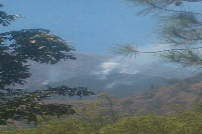
The Suwung landfill in South Denpasar is not the only place burning in Bali at the moment.
A forest fire broke out on the slopes of Bali’s Mount Agung on Thursday.
Wooded areas around Daya and Kubu have been observed smoking, however, this fire’s not an easy one to put out.
The burn area lies inside steep terrain of the eruption hazard zone of Mount Agung, which persists at level III “standby” status for an eruption.
There continues to be an exclusion zone recommended by Indonesia’s volcanology center, encompassing a four-kilometer radius from the volcano crater, which has been extended and reduced back down to four kilometers a number of times since the Bali volcano rumbled back to life last year. Outside of this exclusion zone, Bali remains safe and tourists are urged by the government to still come for holiday.
Head of the Karangasem Fire Department I Nyoman Sutirtayasa said that his department has been coordinating with officers from East Bali Forest Protection Management (RPH) to put out the fire at an altitude of about 1,500 meters above sea level.
“Officers from East Bali RPH are conducting fire monitoring at monitoring posts,” Sutirtayasa told Bali Post on Thursday.
The officers are ready to start fighting the fire if it spreads further down outside of the exclusion zone, but at the moment the terrain is to challenging to access the burn location, according to the fire department head.
“The route to the (fire) location is difficult. The effort that can be done now is to prevent the spread of the fire to the lower slopes. If we go up, we do not dare enter the danger zone,” Sutirtayasa told Tribun Bali.
“The area of land burning is getting wider. The fire has reached the south of Mount Agung and has spread to forested land above Pajenengan Temple, Pempatan Village. The cause of the fire is still unknown,” Sutirtayasa said.
Meanwhile, Made Warta, head of the East Bali Forest Management Unit says that his officers have been working with local residents to try and contain the downward spread of the fire. They also dare not risk entering the danger zone, but they have been extinguishing flames trying to come down the mountain.
There are three apparent hotspots that have appeared and the burn area is estimated to be about a hectare, Warta told Tribun.
There isn’t even a hiking trail to one of the areas, Warta explained of the difficult access.
Hot weather and strong winds have been contributing factors in allowing the fire to spread and flare up.


