
The alert level has been raised for the second time in less than under a week for Bali’s rumbling Mt. Agung volcano.
The volcano’s exclusion zone has also been doubled with authorities warning the public to stay six kilometers from the crater and at least 7.5 kilometers away to the north, southeast and south-southwest.
Agung had been on a level II (vigilance) alert since Sept. 14, but it got taken up to level III (standby) on Monday after increased seismic activity had been recorded, based on data from Magma Indonesia, the app from the Volcanology and Geological Disaster Mitigation Center (PVMBG) of the Ministry of Energy and Mineral Resources.
Blasts from the crater as high as 50 meters have been observed in addition to shallow tremors, according to the Karangasem Regional Disaster Mitigation Agency (BPBD).
Neither local residents or trekkers are permitted to enter the exclusion zone, while residents should be on standby to evacuate.
While small tremors have been noticed at Agung for the past month, officials previously had said there was nothing to worry about. A video posted to Facebook last week showing Agung rumbling did go viral though and brought increased public awareness to the volcano’s activity.
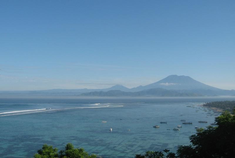
Agung’s last eruption, which killed about 1,000 people, was in 1963. Agung’s activity history is not well known, but historical records of Agung eruptions first appear in 1808.
The volcano, which is the tallest peak in Bali at 3,142 meters, sits in Bali’s Karangasem regency, which is about 840 square kilometers, with a population of 408,000.

