
An earthquake felt in Bali is not a result of the island’s erupting volcano, Mount Agung, according to Indonesia’s Meteorology, Climatology and Geophysics Agency (BMKG).
The earthquake, recorded at 9:19am, measured a 5.0 on the Richter Scale.
Bali feels like a hub of natural disasters with this morning’s quake coming after a string of volcanic eruptions of the past several days.
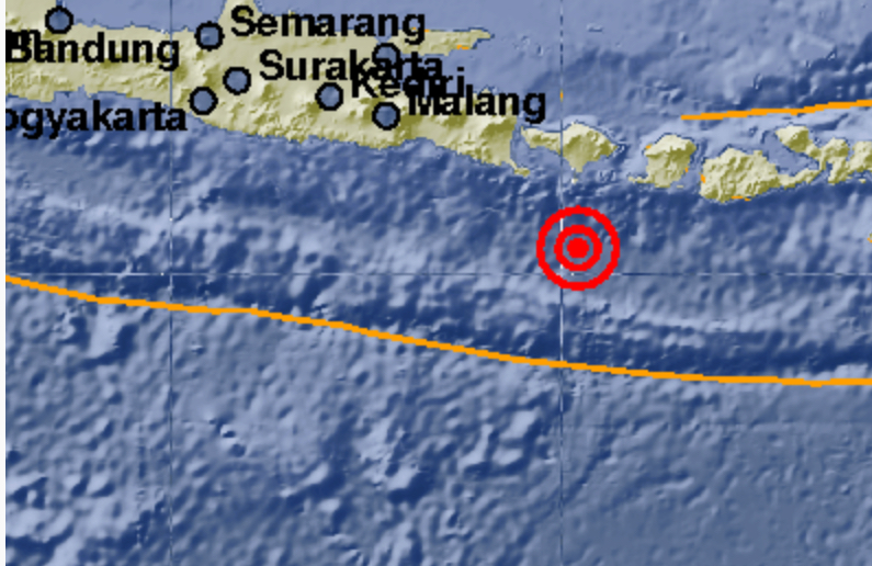
The quake’s epicenter was below sea in the Indian Ocean at a depth of about 24km, approximately 110 kilometers south of Denpasar.
“The shallow earthquake was caused by subduction activity that infiltrated the Eurasian plate, precisely the Indian Ocean beneath the forearc basin,” said BMKG spokesman Daryono on Tuesday, as quoted by Liputan6.
The earthquake startled Bali residents, with reports of it being felt in the areas of Kuta, Badung, Denpasar, and Gianyar. Vibrations were also reportedly felt in Lombok, Bali’s neighboring island to the east.
A tsunami alert was not raised from the earthquake and there haven’t been any reports of damage or injuries stemming from the quake, according to Daryono.

