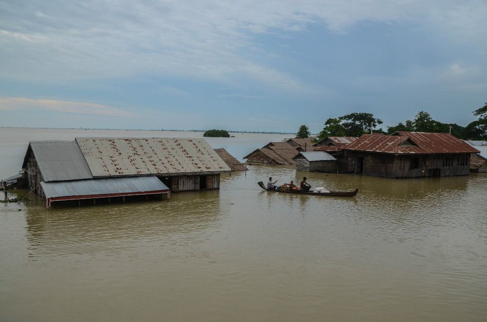
Record-breaking floods, stronger storms, unpredictable rainfall — none of it should come as a particular surprise considering Myanmar’s standing as one of the most vulnerable countries in the world when it comes to climate change and extreme weather events.
But actually seeing the predicted impact of sea-level rises in Yangon mapped out — comparing a future with a world hotter by 2 degrees Celsius, then by 4 degrees — is pretty eye-opening. (For the uninitiated, 2 degrees Celsius or below is the target set by the Paris Climate Agreement.)
Take a quick look at the simulations created by Surging Seas: Mapping Choices and shared by historian Thant-Myint U on his Facebook page earlier today, and we’ll explain what you’re seeing below.
https://www.facebook.com/thantmyintu/posts/2310481792339124
In the first comparison, the one positing a 2-degree global uptick, a large part of the Irrawaddy delta is completely submerged, with patches of water covering a large part of the area across the river in Dala, Seikkyi Kanaungto, Hlaingtharya, and Kyimyindaing, surrounding Yangon proper.
In the second comparison — the 4-degree version — Yangon is almost completely submerged in water, with just a strip of town running from the downtown jetty to Hlaing township remaining above sea level.
The projections may seem extreme, but the numbers correspond with those from various international organizations specializing in climate change and meteorology.
In a 2017 World Wildlife Fund summary report, published in conjunction with the UN and several Myanmar government ministries, experts predict sea levels will rise by anywhere from 40 to 80 centimeters by the 2080s, with a figure over 100 centimeters a possibility.
“Sea levels are projected to rise by between 5cm and 13cm in the 2020s along the entire coast of Myanmar, increasing to 20cm to 41cm in the 2050s, and 37cm to 83cm in the 2080s, with the potential for as much as a 122cm increase,” the report states.
Just a 50 centimeter increase in sea levels could cause the coastline to retreat by almost 10km low-lying areas of the country like the Irrawaddy Delta.
According to the Myanmar Climate Change Alliance, Myanmar’s geographic location, as well as its dependence on its natural resources and ecosystems for its economy and overall well-being make it especially vulnerable to changes in the climate, as well as extreme climate events.
In 2008, Cyclone Nargis claimed almost 140,000 lives by the most conservative estimates, and displaced 800,000 more, causing irreparable damage to many in the delta region who were not warned of the incoming storm surge, torrential rain and gust winds. Since then, more floods and cyclones have battered Myanmar, displacing thousands and killing hundreds every year.


