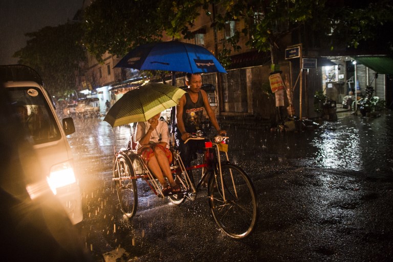

Don’t put away those umbrellas just yet. The rest of November in Yangon is going to stay wetter than usual thanks to expected tropical depressions, the Department of Meteorology and Hydrology said this week.
Over the past several days, Yangon has seen unusually intense rainfall because of a tropical depression in the Bay of Bengal that has intensified into Cyclone Gaja, which is expected to make landfall on the southeastern coast of India tomorrow afternoon.
The deluge has seen heavy flooding in some areas of the city as well as Sanchaung.
This Instagram story by @yayqe shows a dog wading through a flooded Lat Pan Street, Sanchaung after a heavy storm on Nov. 12.
The government’s Meteorology team is also predicting that the continuing low-pressure area in the Bay of Bengal might intensify into yet another depression in the coming days.
They expect about “four to six days of rain in Bago, Yangon, Ayeyarwady and Tanintharyi regions, Kachin, Southern and Eastern Shan states, Kayah, Kayin and Mon States.”
https://www.instagram.com/p/BqHrQTKgJFI/
While the occasional scattered shower might be a welcome break from the heat, rainfall in Yangon has become more intense and less frequent, according to UN-Habitat and Building Resilience and Adaptation to Climate Extremes and Disasters (BRACED), and the average normal maximum temperature for the entire country has increased.
According to the Global Climate Risk Index, Myanmar is one of the world’s most vulnerable countries to the impacts of climate change. Between 1997 and 2016, Honduras, Haiti and Myanmar were the most impacted due to extreme weather events.

