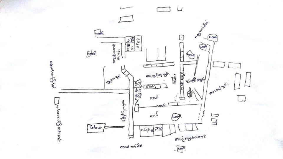

The office of Myanmar’s military chief posted to its Facebook page yesterday photos of several maps that were allegedly hand-drawn by members of the Arakan Rohingya Salvation Army in preparation for an armed attack.
The Office of the Commander-in-Chief of Defense Services said in the Facebook post that the maps were part of a plan to attack a police outpost in Taungpyoletwe village in northern Rakhine State.
Myanmar troops found the maps when they entered the village on September 1 to carry out “peace and security duties” and “alleviate the worries of local ethnic people.” They were found in the home of someone named Mawlawi Asha Dula.
Some of the maps are labeled in Burmese language, while others are labeled in Rohingya language using Arabic script.

