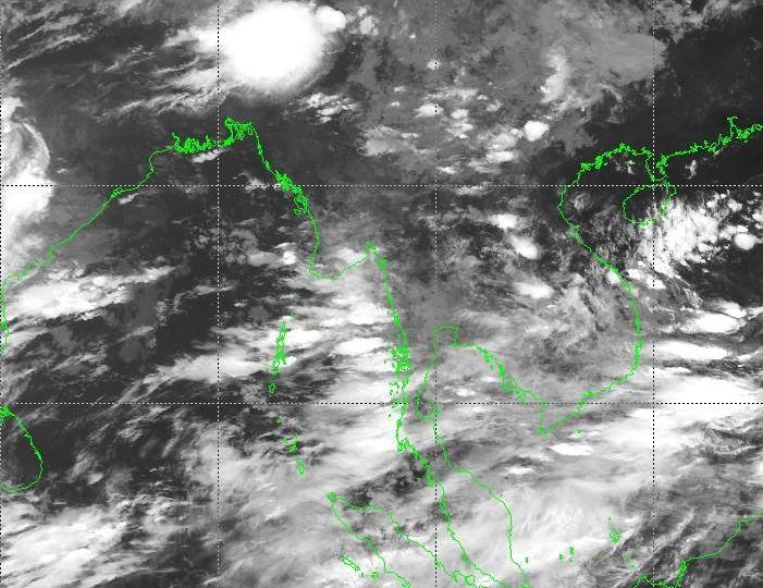

A depression has formed over the Bay of Bengal and is expected to bring storms across Myanmar during the second 10-day period of August.
The Department of Meteorology and Hydrology (DMH) has predicted above-average rainfall in Taninthayi, northern Sagaing, northern and eastern Shan, and in Mon. The rest of the country is expected to receive normal amounts of rainfall.
Rain is expected to fall for between seven and nine days in northern Sagaing, Bago, Yangon, Ayeyawady, Taninthayi, Kachin, Shan, Rakhine, Kayin, and Mon. Southern Sagaing, Mandalay, Magway, Chin, and Kayah will receive rain for between four and six days.
River water levels are also expected to rise by several feet across the country. The Ayeyawady River may rise by as much as five feet in Kachin, Sagaing, and southern Mandalay. The Chindwin River may rise by as much as six feet in Sagaing.
Myanmar is currently recovering from floods that displaced around 150,000 people from their homes and killed about a dozen people, primarily in the regions of Kayin, Mon, and Bago. As of this week, tens of thousands remained displaced and dependent on aid to survive.

