
Beyond the palatial mansions and fenced up bungalows — and besides the fact that the Botanic Gardens and Bukit Timah Nature Reserve are located there — what do we really know about the Bukit Timah neighborhood?
Well, to most Singaporeans, it’s where the rich live. (Just like how Sentosa Cove is where the crazy rich live.)
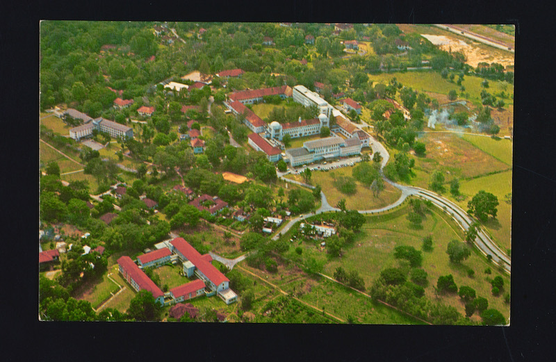
To dig a little deeper than that, the National Heritage Board (NHB) created an exploration trail of Bukit Timah, which was originally launched in 2007 and updated recently. It now covers 38 heritage sites, including new ones like Dairy Farm Nature Park, St. Joseph’s Church, Adam Park, former Command House, and the Fuyong and former Princess Elizabeth estates.
For those who may not know, the name of the district means “Tin Hill” in Malay, even though no trace of tin was actually discovered there. It is believed the place was called “Bukit Temak” by locals in the past, perhaps a reference to the Temak trees that populated the area.
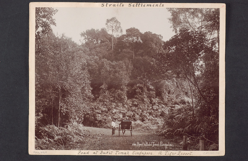
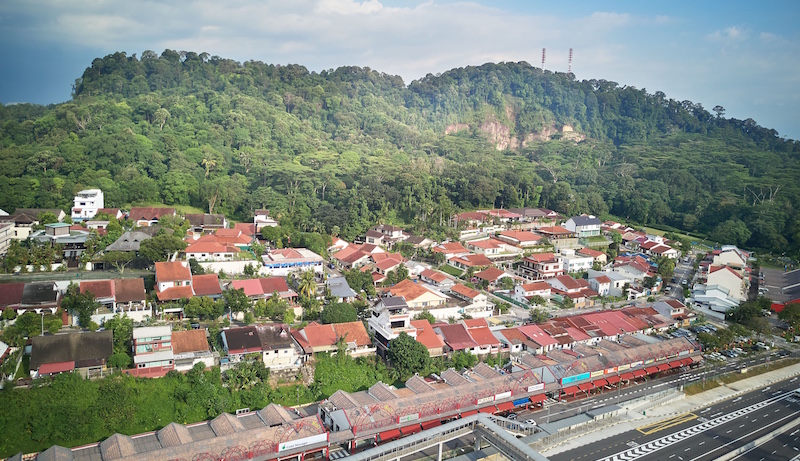
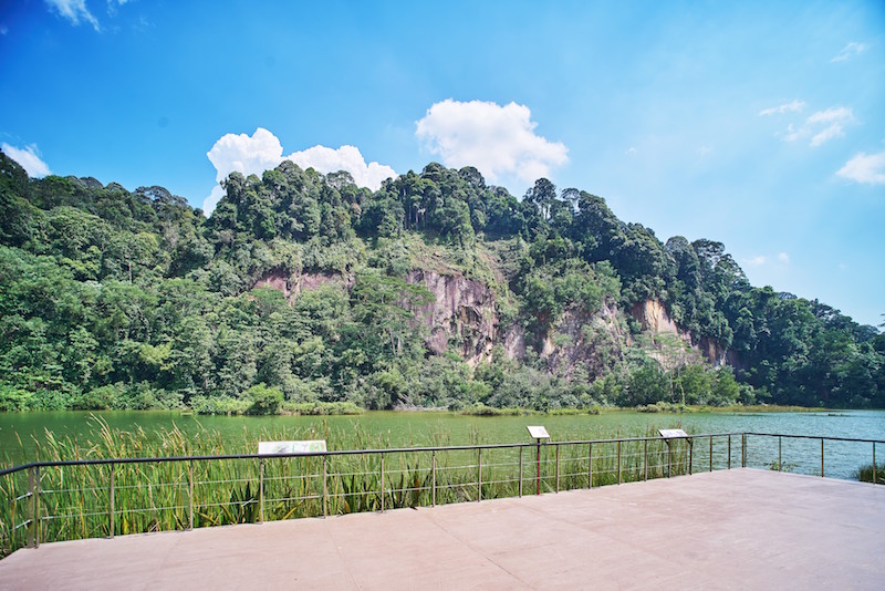
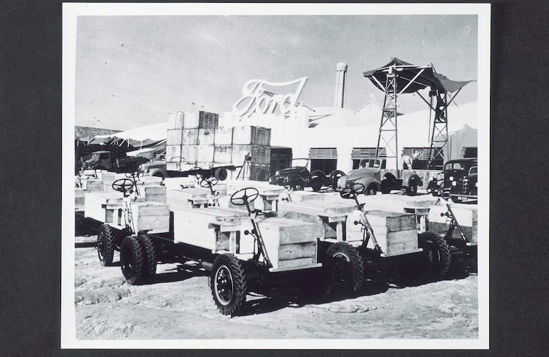
Once an industrial hub for the former Ford and Yeo Hiap Seng factories in the 1950s, the area was also home to the quarrying industry, which began with the opening of the former Bukit Timah Railway Station. And the Fuyong estate developed by entrepreneur Lee Kong Chian in the 1950s? Apparently the 142-household neighborhood housed former president S. R. Nathan.
But back to the trail. With contributions from the community, many of whom lived and worked in the area, the three themed routes encompass different segments along Bukit Timah Road, one of the oldest and longest of its kind in the country.
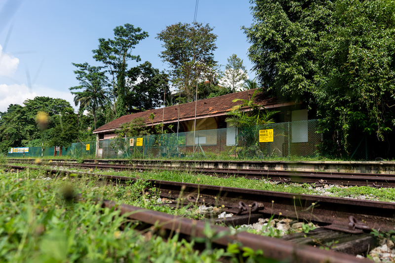
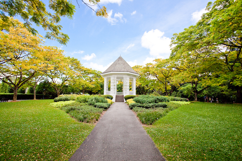
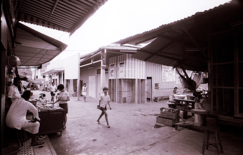
The one-hour Kampong Life Trail takes you across buildings and institutions from the district’s kampong past, including a former railway station and places of worship. As for the one-and-a-half hour WWII Legacy Trail, you’ll visit places related to the Japanese Occupation. On the two-hour Leisure and Learning Trail, popular social and leisure destinations are on the itinerary, including Singapore’s first UNESCO World Heritage Site (the Botanic Gardens) and famous eating places.
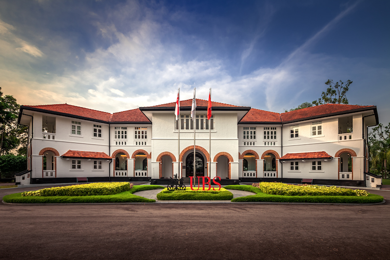
Other stops on the revamped trail include the former Raffles College, the former Beauty World, the former Bukit Timah Racecourse, Adam Food Centre, Hoon San Temple, Masjid Al-Huda, and the former McDonald’s Place at King Albert Park.
The Bukit Timah Heritage Trail is part of NHB’s line-up of neighborhood trails, which include the likes of Jalan Besar, Tiong Bahru, Queenstown, Little India, and Kampong Glam.

