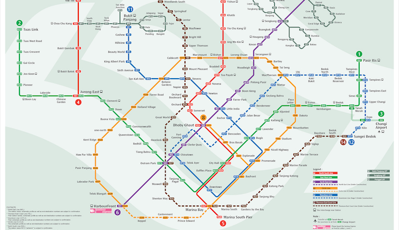
If you’re (a) having to transfer between MRT lines to get to work around the CBD area, and (b) terribly annoyed by the constant train breakdowns, the new MRT network map may come in handy for you. Called the Walking Train Map, it displays the average walking time between stations on different lines, so you can figure out how to save on travel time on your trip (and perhaps burn a couple extra calories while at it).
Our guess is that it’ll be very useful when the system experiences train disruptions as well.
Just look out for the new map, which will be progressively placed up at 19 MRT stations, including Bugis, City Hall, Chinatown, Dhoby Ghaut, Little India and Raffles Place, reported The Straits Times.
Some of the 18 travel hacks include walking from Raffles Place MRT station to Chinatown, which takes 11 minutes instead of 24 minutes by train transfer, as well as walking from Tanjong Pagar to Telok Ayer, which takes eight minutes instead of 20 by train.
Of course, the walking times are all estimated durations, so you may need to give or take a couple minutes to plan your schedule accordingly. Plus, you’ll still have to rely on your own handy GPS to navigate the trek between stations.


