
It’s not hard to see the impact of rapid urban development in Singapore, with all the spankin’ new buildings, land reclamation and the like across the island in just a short span of time.
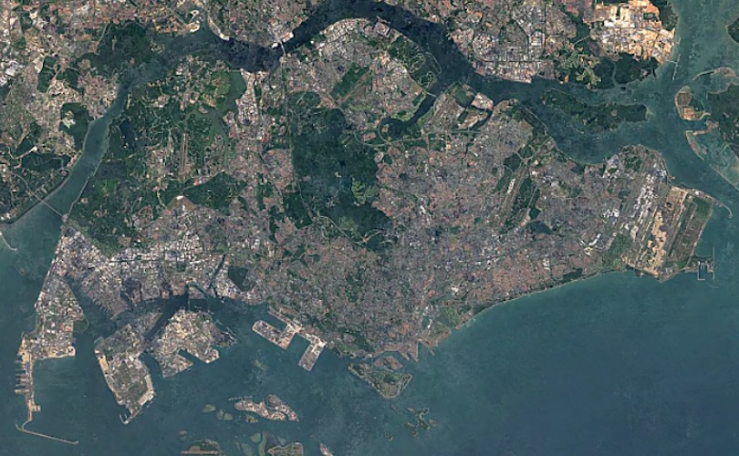
But to see how exactly the little red dot has become a slightly bigger red dot, you’ll need satellite images taken each year — and lucky for us all, the Google Earth Engine has launched a Timelapse update. The timelapse feature of its satellite imagery app is an effective (and cool) way to watch the swift pace of growth across the world — it lets anyone search for specific locations and watch the changes bloom over the years.
You can see how much Singapore has evolved over 32 years, with the land expanding further outwards through land reclamation, as well as the receding greenery across the island. Check out some highlights below:
Singapore island
Changi Airport
Jurong Island and Tuas South
Punggol residential district
Tuas Checkpoint

