Check out these photos of Orchard Road in the 1800s and 1900s before embarking on its new heritage trail

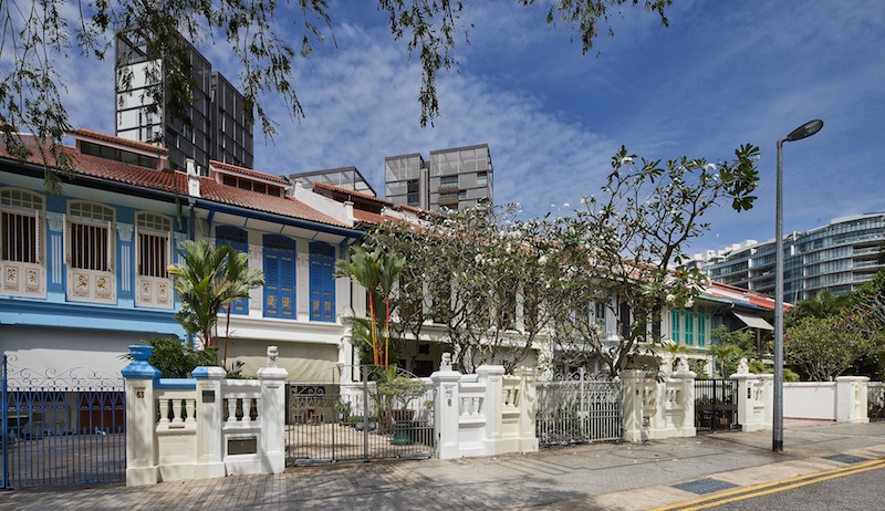
Emerald Hill today. Photo: National Heritage Board

Orchard Road may be a familiar sight to the shoppers among us, but it wasn’t always a buzzing retail hotspot. So to unearth the lesser-known aspects of its past, the National Heritage Board (NHB) created its 18th trail with the district in mind.

With this new self-guided journey, you’ll walk through 71 heritage sites spanning from Tanglin to Dhoby Ghaut, including six national monuments and a UNESCO World Heritage Site.
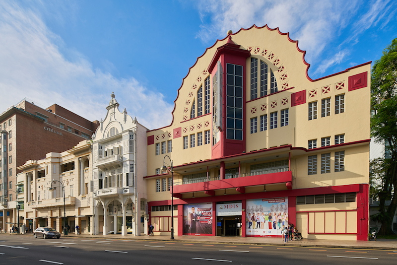
SMA House (MDIS). Photo: National Heritage Board

Before the malls descended upon the street, Orchard was a valley surrounded by the hills of Emerald and Cairnhill, a land for plantations and orchard to grow crops like nutmeg, and a place to host cemetery grounds.

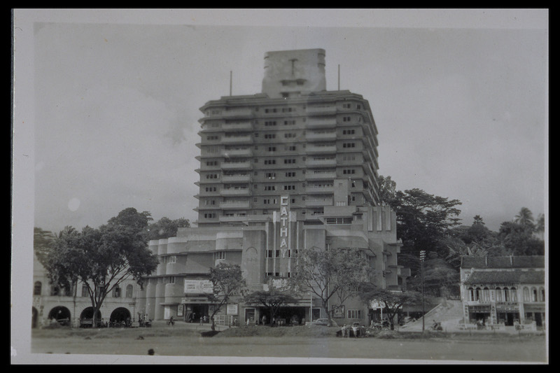
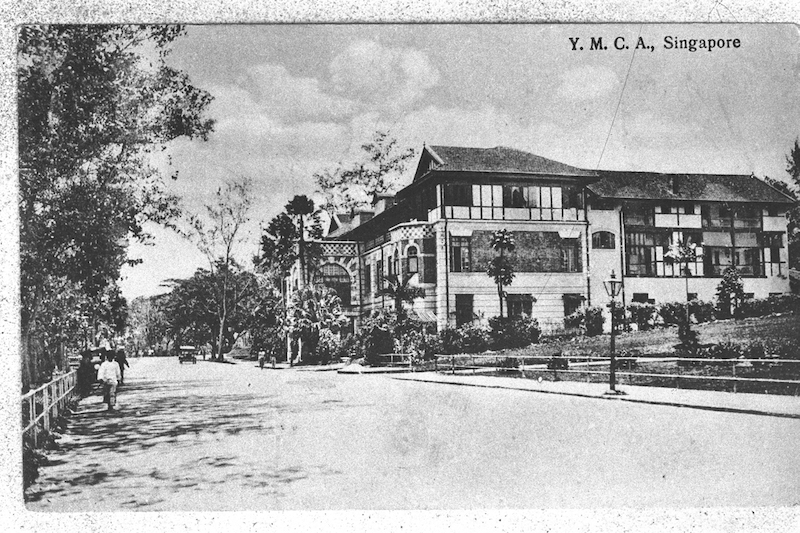
Some fun facts about its history: Built in 1941, the Cathay Building is Singapore’s first skyscraper (it also housed the country’s first air-conditioned cinema) — it saw the British fly a Japanese flag and a white flag on top of the structure for 10 minutes during their surrender in World War II. Our first public swimming pool can be found at the Young Men’s Christian Association (YMCA), where it was constructed in 1919 using a refitted water tank at Fort Canning.
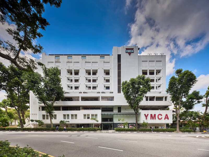
YMCA. Photo: National Heritage Board

At The Centrepoint is where Cold Storage started its operations in 1905, subsequently expanding from a little deli to become Singapore’s first supermarket chain. Then there’s Ngee Ann City, which is built on the premises of the former Tai Shan Ting cemetery.

While conducting research for the trail, NHB sought photographs and stories from former and current residents, as well as regular visitors of the area, even going through social media to gather memories from Singaporeans. If you didn’t know, there used to be a fruit orchard next to the Thai Embassy, and an old wet market between Koek Road and Cuppage Road.
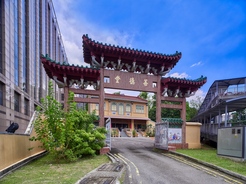
Sian Teck Tng temple. Photo: National Heritage Board

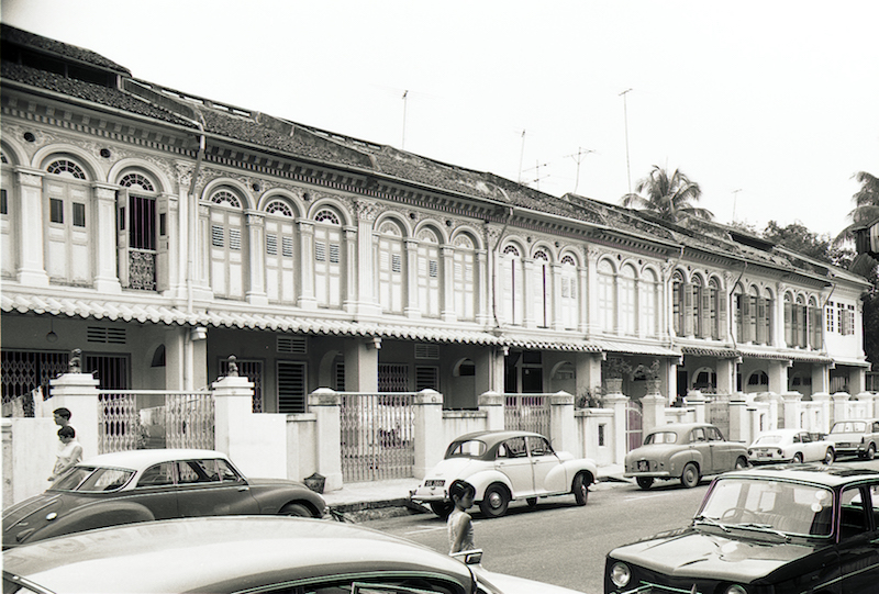
Orchard Road is also where communities like the Chinese, Malay, Indians, and Jews settled in during the 1800s, alongside the Peranakans at Emerald Hill, the Teochew people at Kampong Teochew, and the Indian washermen (or dhobies), from whom Dhoby Ghaut got its name.
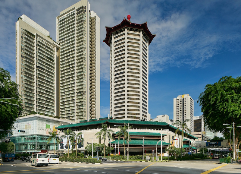
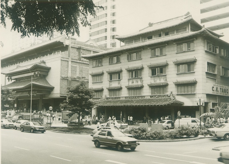
Tang Plaza. Photo: National Heritage Board

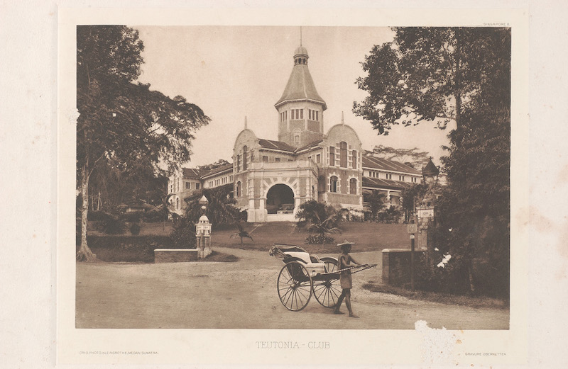
Separated into three themed routes, the trail consists of Orchard Road’s Historical Gems (40 minutes on foot), which takes you from Singapore’s first department store C K Tang to Goodwood Park Hotel, formerly a German social club; Communities and Cemeteries (1 hour 15 minutes on foot), a tour across places of worship, schools, homes, community organizations, and cemeteries; and From Orchard to Garden (2 hours on foot), for nature enthusiasts to trek from town to the Botanic Gardens.
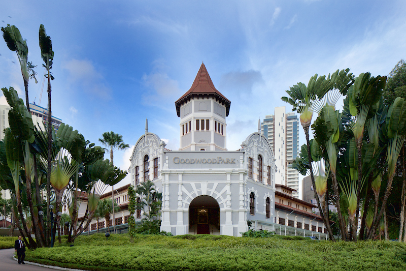
Goodwood Park Hotel. Photo: National Heritage Board

If you’re keen to spend a day exploring, you can download the guide and map from Roots.sg or find printed copies at NHB museums and heritage institutions.

Before you set off, scroll through these images to look back on the Orchard Road of years past.
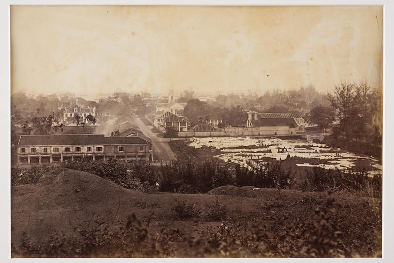
Laundry laid out to dry at Dhoby Ghaut, 1890. Photo: National Museum of Singapore
Cathay Building, 1950. Photo: National Museum of Singapore
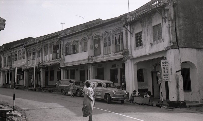
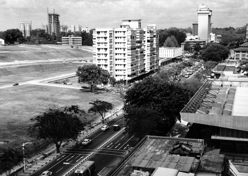
Cuppage Terrace in the past. Photo: Urban Redevelopment Authority
The rebuilt Teutonia Club, 1900, now the site of Goodwood Park Hotel. Photo: National Museum of Singapore
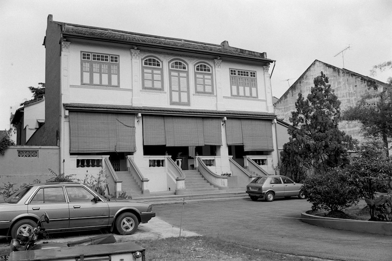
Shop houses along Emerald Hill Road, 1969. Photo: Urban Redevelopment Authority
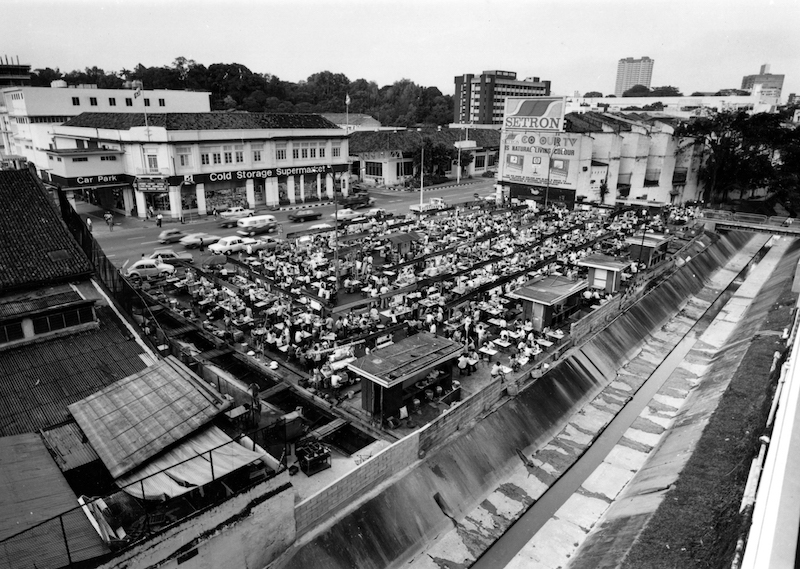
Glutton's Square as a hawker centre in the evening, 1977. Photo: Urban Redevelopment Authority
Glutton’s Square as a hawker centre in the evening, 1977. Photo: Urban Redevelopment Authority
A part of the former Tai Shan Ting cemetery, which was redeveloped into Ngee Ann Building (centre) in 1957, 1972. Photo: Urban Redevelopment Authority
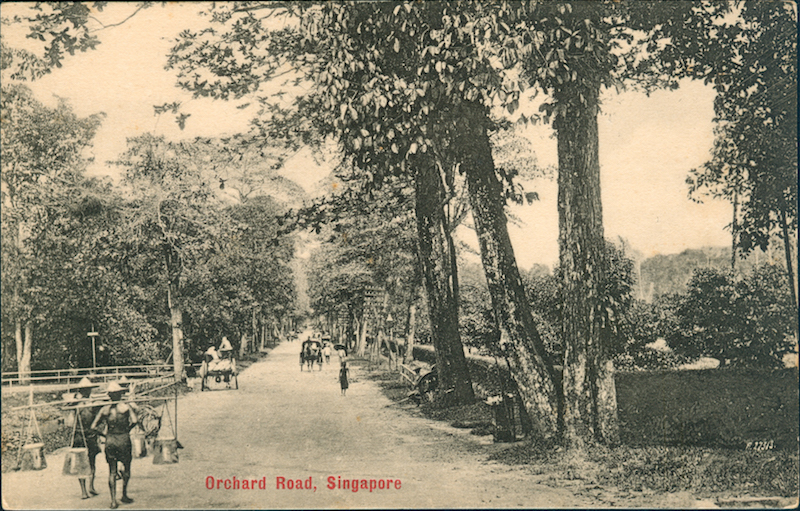
Orchard Road, 1900. Photo: Collection of Singapore Philatelic Museum
Former C K Tang department store, early 1980s. Photo: C K Tang Ltd
Sian Teck Tng temple, 1983. Photo: National Library Board
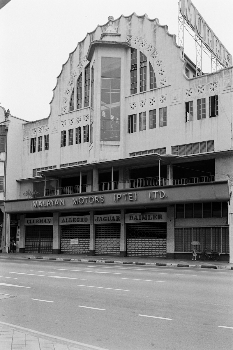
Malayan Motors, 1982, current site of SMA House (MDIS). Photo: National Library Board
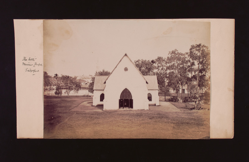
Mission Chapel, late 1800s, current site of Orchard Road Presbyterian Church. Photo: National Museum of Singapore
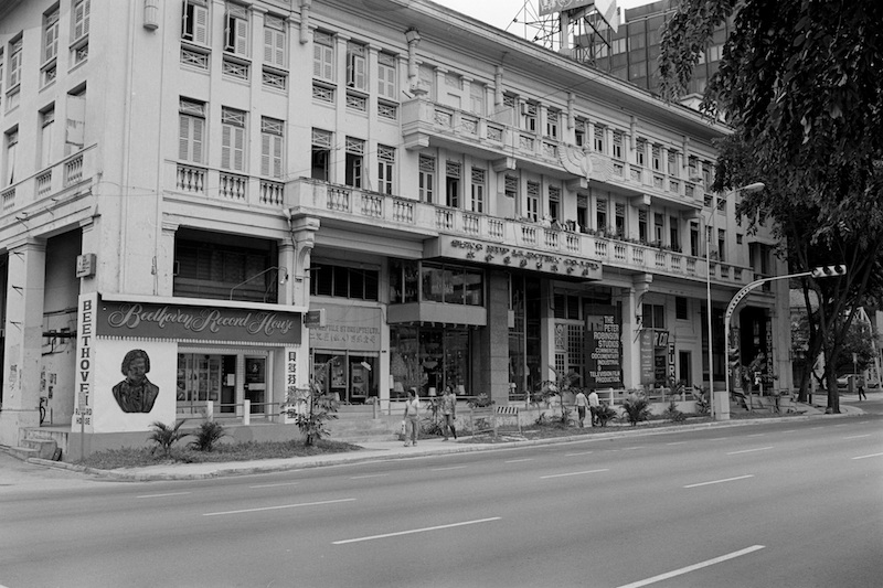
Heeren Building, 1982. Photo: National Library Board
YMCA, 1910s. Photo: Lim Kheng Chye Collection, from National Archives of Singapore


BECOME A COCO+ MEMBER

Support local news and join a community of like-minded
“Coconauts” across Southeast Asia and Hong Kong.

Join Now
Coconuts TV
Our latest and greatest original videos
Subscribe on