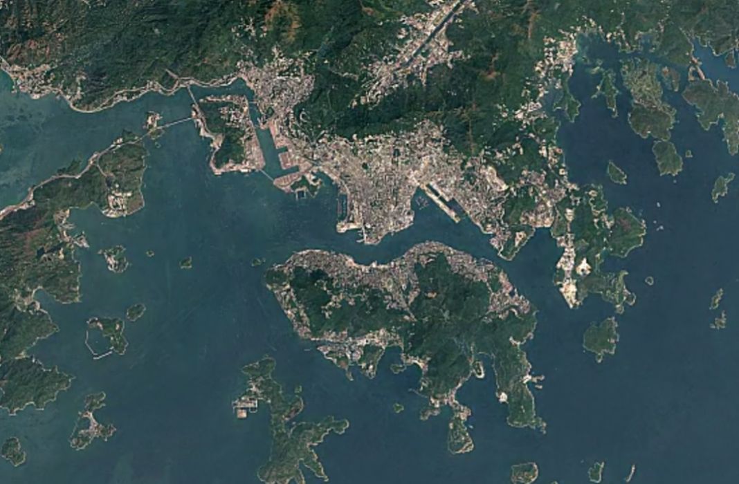

Hong Kong’s long used reclamation to expand our tiny territory’s supply of usable land (and at pretty dire environmental costs, we might add).
While this is common knowledge, Google Timelapse has just allowed us to witness the full impact of Hong Kong’s extensive land reclamation over the past 32 years in just the blink of an eye.
The newly launched tool utilises satellite imagery dating back to 1985 to show the ways our world has changed in the last three decades.
While using Timelapse on places like the Exit Glacier in the Kenai Peninsula of Alaska shows the extreme effects of climate change, the starkest change in Hong Kong’s topography is the not-so-gradual filling in of areas like Kowloon, Hong Kong International Airport, and Disneyland (R.I.P. pink dolphins).
Got a tip? Send it to us at hongkong@coconuts.co

