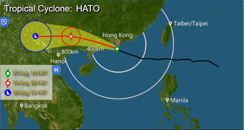
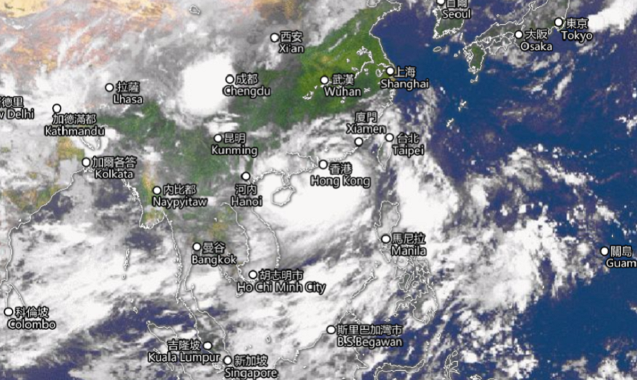
Hongkongers are taking shelter this morning after the Hong Kong Observatory (HKO) issued the highest typhoon warning — Hurricane Signal No. 10 — the city has seen since 2012.
The Observatory hoisted a T8 Northeast Gale or Storm Signal at 5:20am, which was replaced by a T9 Increasing Gale or Storm Signal at 8:10. The Hurricane Signal was hoisted at 9:10am, when Severe Typhoon Hato was centered 80 kilometers to the south of Hong Kong.
The warning means that winds with mean speeds of 118 kilometers per hour are expected. The Amber Rainstorm Signal, which means that heavy rain exceeding 30 millimeters has fallen or is expected to fall generally over Hong Kong, has been in force since 8am.
At 11am, the cyclone was centered about 60 kilometers southwest of the HKO and is forecast to move west-northwest at 25 kilometers per hour towards the western part of the Pearl River Estuary. It is expected to make landfall within 100 kilometers of the city in the afternoon.

All schools have been suspended for the day. Ferries and the MTR’s above-ground services (including the Airport Express) have been suspended until further notice. Buses and the MTR’s underground sections are operating on limited service.
As of 6:30am, 420 flights had been canceled as a result of the weather, 15 fallen trees had been reported, and 198 people had sought refuge at 27 territory-wide temporary shelters.
A high water level of 3.6 meters above average has already been recorded at Quarry Bay and is expected to further increase, according to the Observatory. A high water level of about 5 meters above normal is expected at Tolo Harbour at noon.
The stock market, courts, Legislative Council, and various government departments are all closed for the day.


