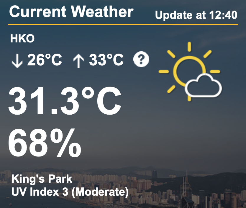
The Hong Kong Observatory (HKO) issued its first “very hot” weather warning of the year on Friday – the earliest in a year such a warning has ever been sent in the city’s history.
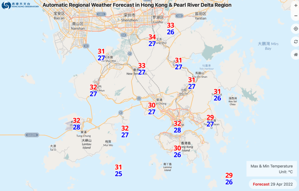
Temperatures are forecast to soar to 33 degrees Celsius on Friday, and as high as 34 degrees in the New Territories.


The observatory sent the warning at 6:45am and cautioned the public about the risk of heatstroke.
“An anticyclone aloft is bringing generally fine weather to the coast of Guangdong,” said the forecaster on its website.
The observatory said the anticyclone aloft will continue to affect southern China on Saturday, with sunny periods expected.

But the weather will be windy with frequent showers in the following couple of days.
“A relatively cooler northeast monsoon will reach the coast of Guangdong on Sunday, it will be windy over the region,” said the forecaster.
Temperatures will fall gradually on Sunday, with the observatory forecasting the minimum temperature to be around 19 degrees on Monday.
“Heavy showers associated with a broad area of low pressure will affect the northern part of the South China Sea and the coastal areas of southern China early next week. but the chance for the area of low pressure developing into a tropical cyclone will be relatively low,” it added.
With the areas of showers departing gradually, the weather over southern China will improve midweek next week, said the observatory.
The first “very hot” weather warning was issued in 2000, while the previous earliest such warning in a year was recorded in 2018, when HKO issued a warning on May 3.


