
The city’s meteorological agency will consider issuing the typhoon signal no. 1 on Tuesday.
The Hong Kong Observatory said on its website on Monday at noon that there is currently an area of low pressure over the central part of the South China Sea maintaining a distance of around 800 kilometers from Hong Kong and its structure is relatively loose.
“According to the present forecast, the area of low pressure will gradually develop into a tropical cyclone later tonight (Aug. 8) to tomorrow (Aug. 9) morning. Depending on its actual development and movement, the observatory will consider issuing the standby signal, no. 1 tomorrow morning,” it said.
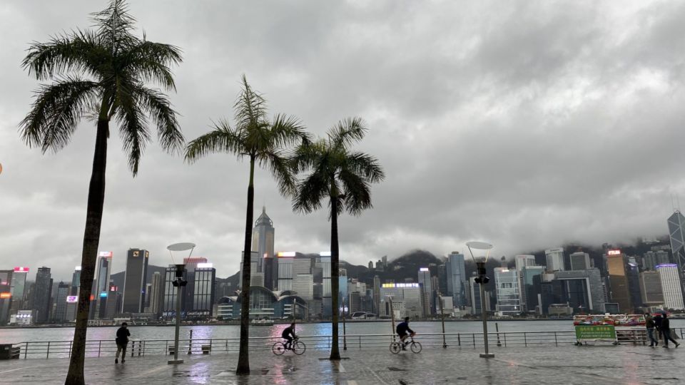
The forecaster added that under the influence of the area’s outer rainbands, it will be windy with heavy squally showers and thunderstorms over Hong Kong on Tuesday and Wednesday.
There will also be swells, it said.

The observatory urged members of the public to take note of its latest weather information and be prepared for windy and rainy weather.

