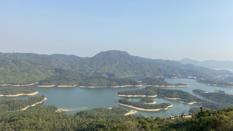
With long quarantine periods still in place in many countries overseas as well as Hong Kong, traveling to see scenic vistas such as the Thousand Island Lake in China’s Zhejiang province or the Sierra Nevada mountains in California is still a logistically impossible dream for many.
But did you know that Hong Kong has its very own “Thousand Island Lake” too?
The “lake” is actually the Tai Lam Chung Reservoir, which is located in Tai Lam Country Park in the Western New Territories.
To get there, you can take the MTR to Tuen Mun station, exit at F2 and head toward San Hui Market to take minibus 43.
Alight at the minibus stop at So Kwun Wat Tsuen, which is a village near Hong Kong Gold Coast.
Alternatively, you can walk to So Kwun Wat Tsuen from Gold Coast, which is what my friend and I did.
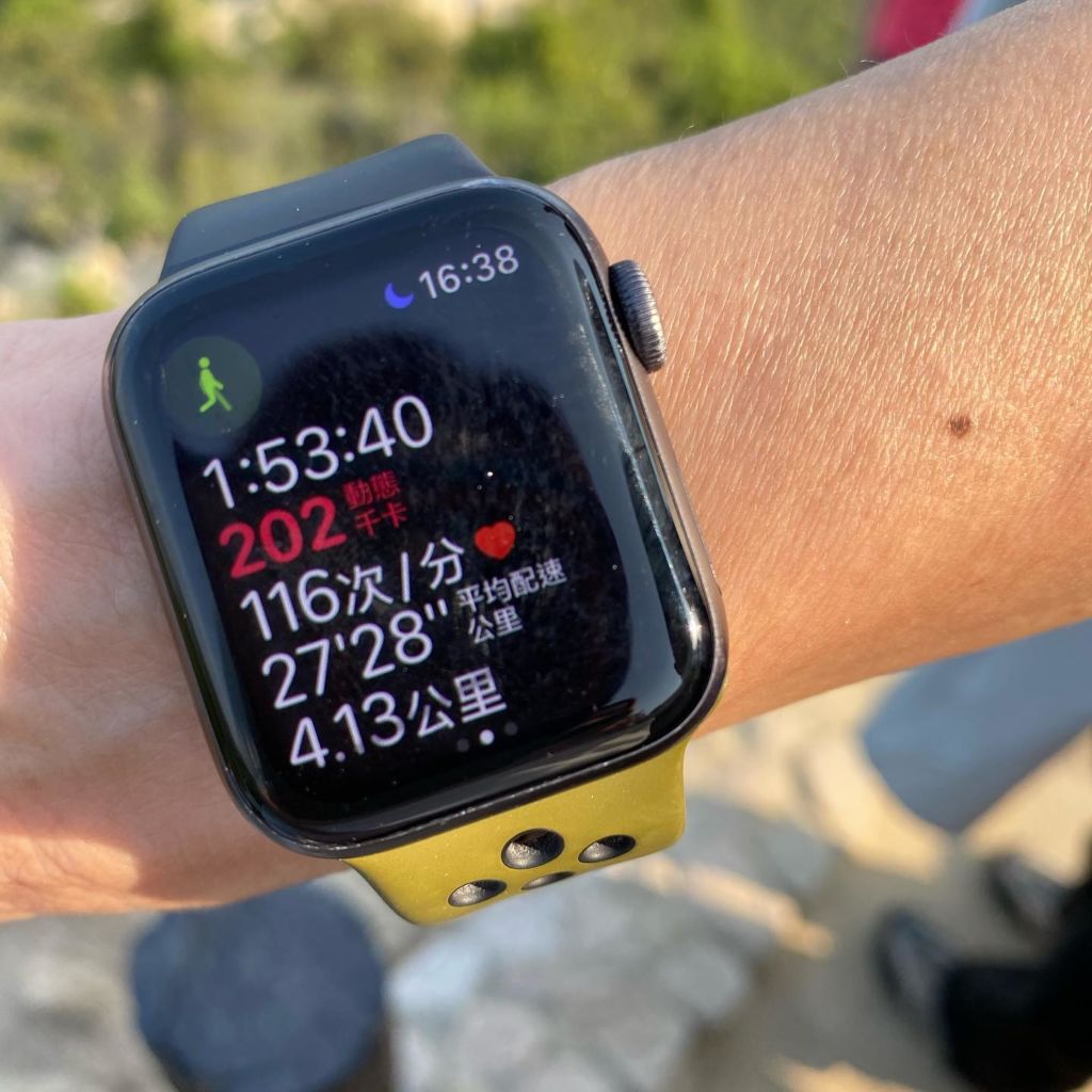
While the hike is not difficult, it still takes about two hours, if you’re walking at a leisurely pace, to get to the top and enjoy the best views.
So my friend and I first met for a hearty lunch at Gold Coast before walking for about 15 minutes to So Kwun Wat Tsuen to begin our adventure.
From the village, walk along Section 10 of the MacLehose Trail. There is plenty of signage to guide you in the right direction.
If you’re lucky, you might come across some wandering goats along the way as we did.
Even for amateur hikers like us, the walk was manageable and in fact quite leisurely.
Most of the route is paved and there is lots of greenery along the way to provide shade.
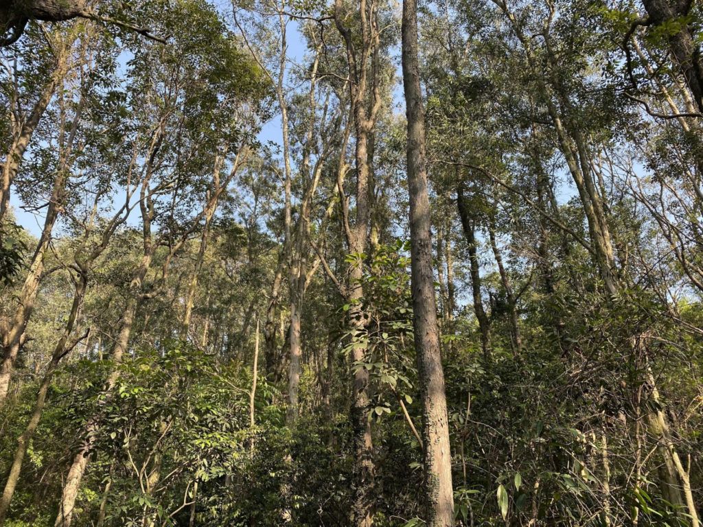
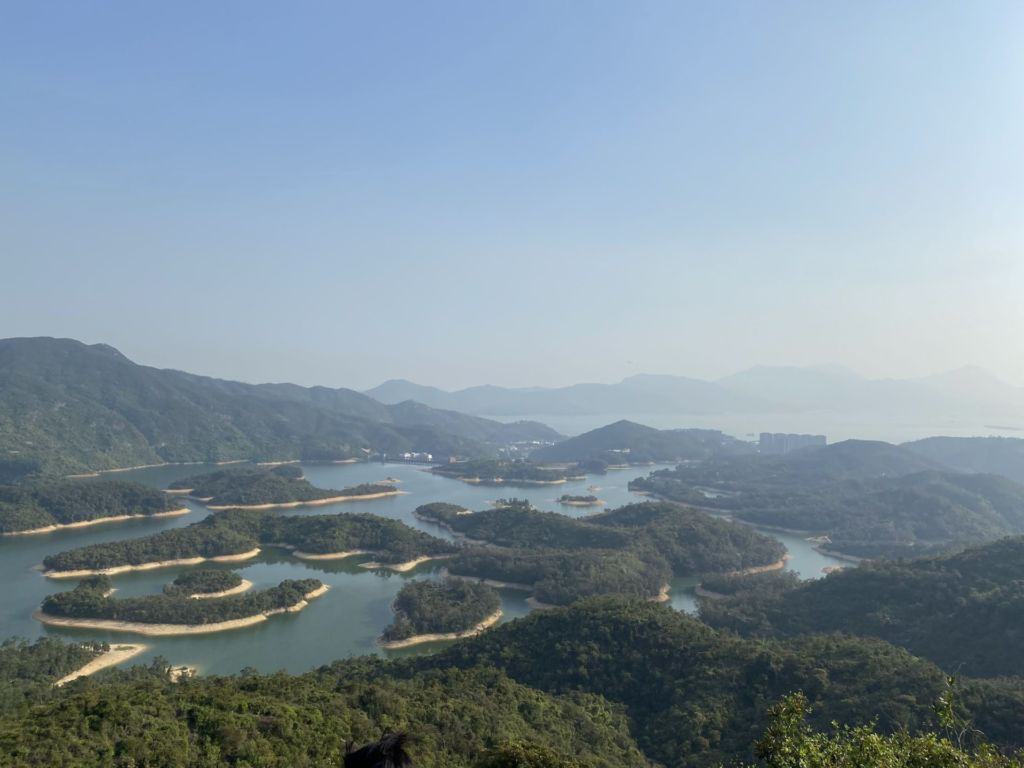
You can catch glimpses of the “Thousand Island Lake” along the hike, but the best view is from the Reservoir Islands Viewpoint.

You can catch glimpses of the “Thousand Island Lake” along the hike.
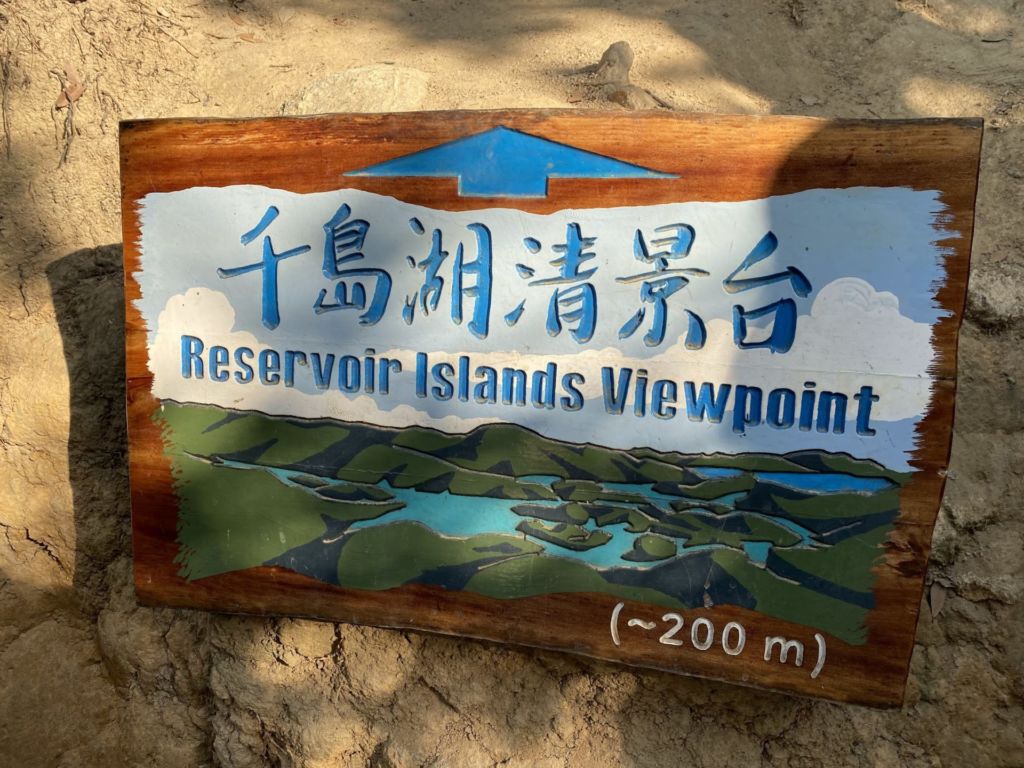
Look for a sign pointing towards the Reservoirs Island Viewpoint, which is about 200 meters from the vantage point.
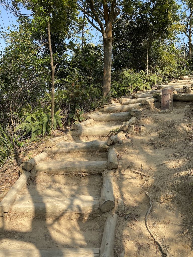
There are steps to ensure that the hike up the slope is not too challenging.
After a hike that lasted around two hours, we reached the top where there are unobstructed views of the reservoir and the islands.
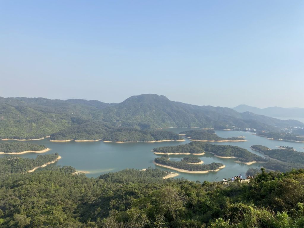
A fun fact to note is that the islands were actually hills before the land was flooded by the reservoir’s catchwater.
To make your way back, simply head back the way you came from.
Alternatively, you can go back to the “Reservoir Islands Viewpoint” sign and head in the opposite direction toward Tai Tong Nature Trail.
