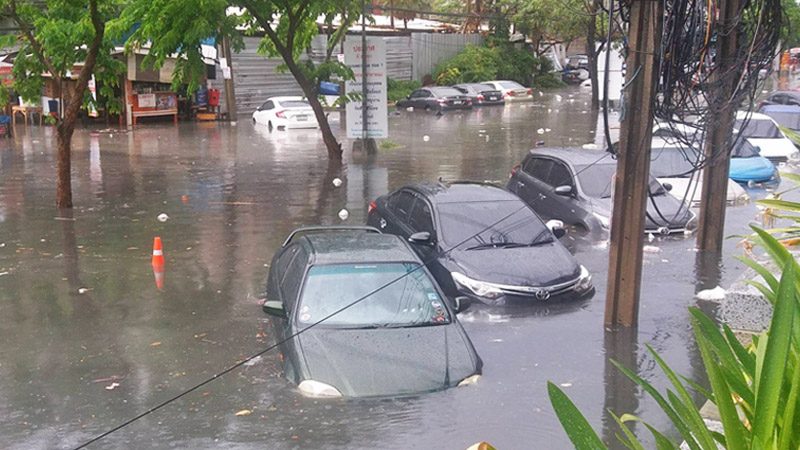

Anyone that’s lived through rainy season in Bangkok knows the pain of commuting this time of year all too well – and anyone that hasn’t got a crash course on it when Friday’s monsoon paralyzed traffic with watery hell.
Bangkok never seems to get the upper hand with the elements and floods despite throwing a lot of money at the problem. The No. 2 item in City Hall’s proposed budget for next year has THB8.8 billion (US$281 million) earmarked for drainage, nearly 10 percent of 2020’s operating budget of THB83 billion.
Bangkok is in for more rain. Residents stockpile ingenuity, humor, not so much grace (Videos)
Meanwhile the rains have only just begun, with more expected every day for the rest of the month. With more flooding is inevitable, city officials yesterday identified the 14 most-floodtastic roads to avoid, if possible.
These are areas that may flood when only 60 millimeters or less of rain has fallen, according to Deputy Bangkok Gov. Chakkaphan Phewngam. They include Chaeng Watthana Road in the north, Suan Phlu Road just off Sathorn and Sri Ayutthaya Road near Din Daeng.
They’re all here on this one handy map that can be imported into some GPS apps such as Google Maps. Click any blue location to open the full list.

